Land Surveys

Land Surveys from Vetra Spacial
Comprehensive land surveys capturing topographic details, boundaries, and structural data to support construction, planning, and compliance.
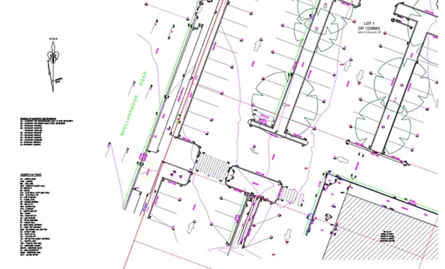
Feature & Level Surveys
Detailed topographic surveys using drones, 3D scanners, and total stations to map all natural and man-made site features with precision.
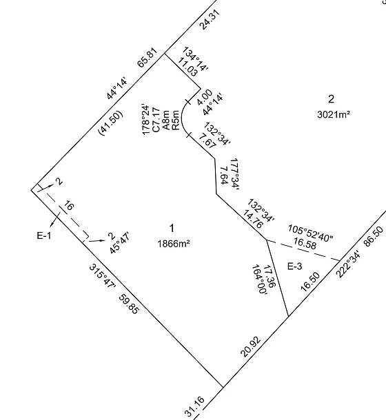
Easement Surveys
Establishes and registers land use rights for shared access, utilities, and drainage on a property title.
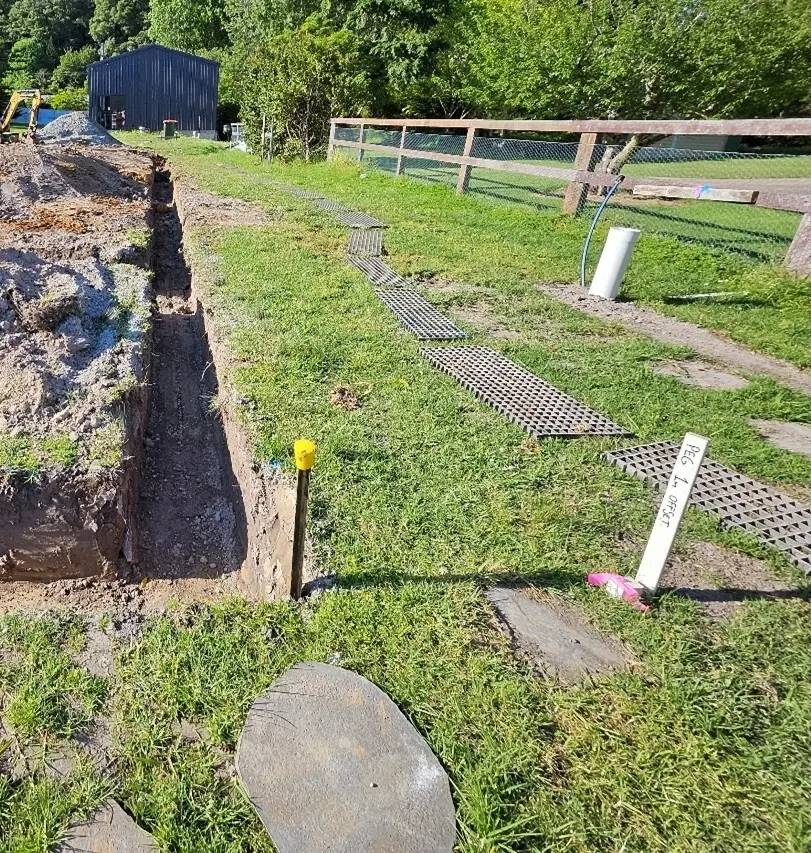
Building Set-Out Surveys
Accurately marks the location of proposed structures on-site, ensuring alignment with architectural plans and legal boundaries.
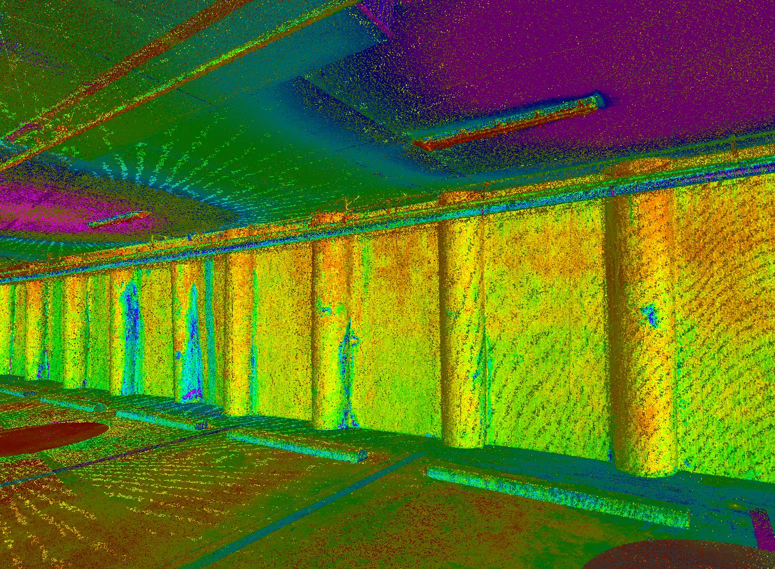
Movement Monitoring
Tracks structural shifts over time to detect potential issues in retaining walls, storage tanks, and bridges, providing early warnings for corrective action.
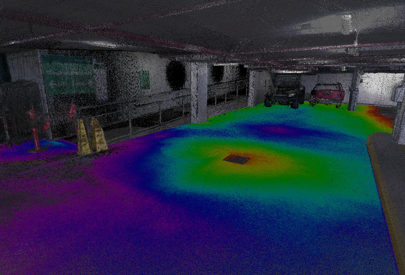
Floor Flatness Surveys
Comprehensive evaluations of floor surfaces to identify irregularities, measure surface profiles, and ensure compliance with international standards.


